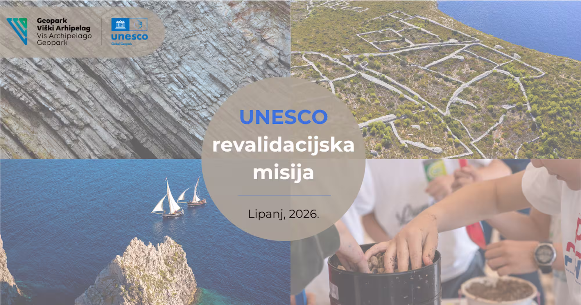
UNESCO Revalidation of the Vis Archipelago Geopark Held
From June 22 to 26, 2026, the UNESCO revalidation took place in the Vis Archipelago Geopark. This is a regular evaluation process for UNESCO Global Geoparks, monitoring their operations, management, development, international cooperation, visibility, connection with the local community, and the preservation and interpretation of geological, natural, and cultural heritage.
Revalidation is a crucial moment for every UNESCO Global Geopark, as it not only reviews past activities but also provides an opportunity to assess the area's development, heritage management practices, local community involvement, and the future direction of the Geopark. For the Vis Archipelago, an area of exceptional geological, natural, cultural, and maritime value, the revalidation was also a chance to present to the evaluators the complexity of life and work on an offshore island archipelago, as well as the strength of the community that preserves, interprets, and develops this area.
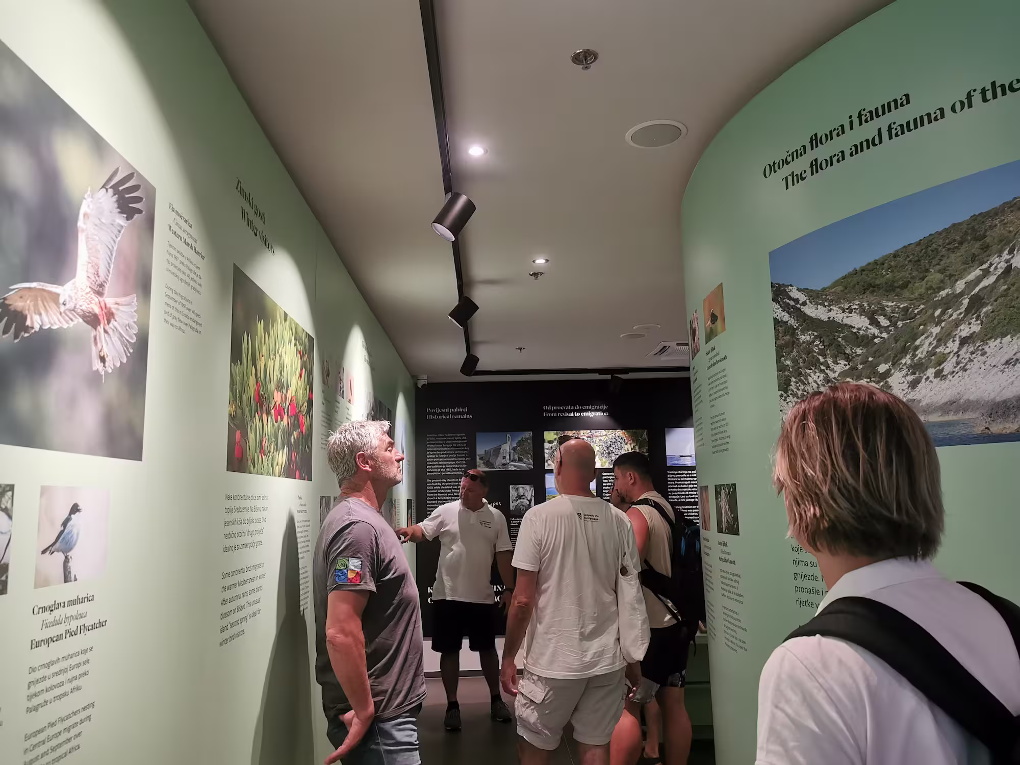
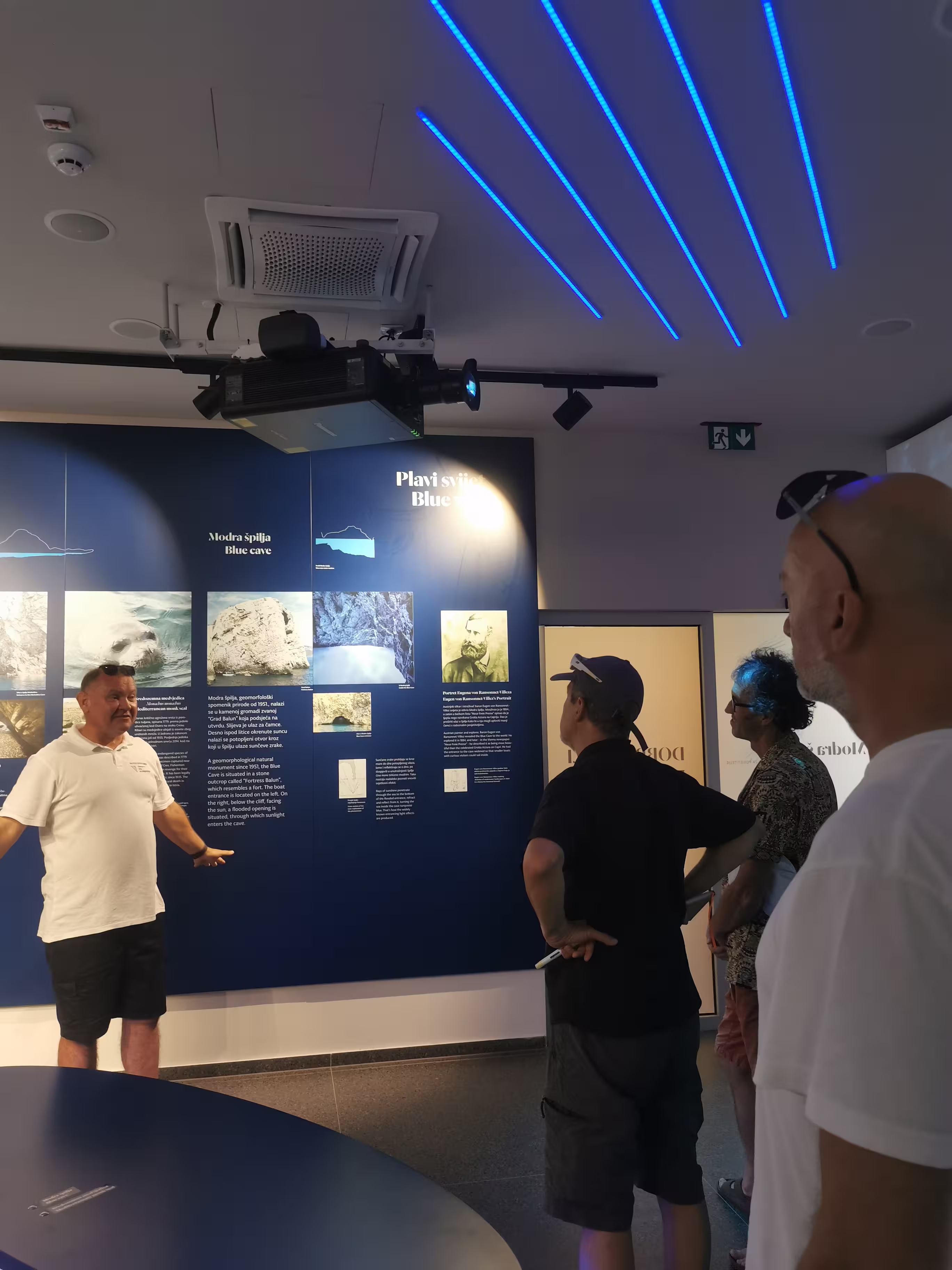
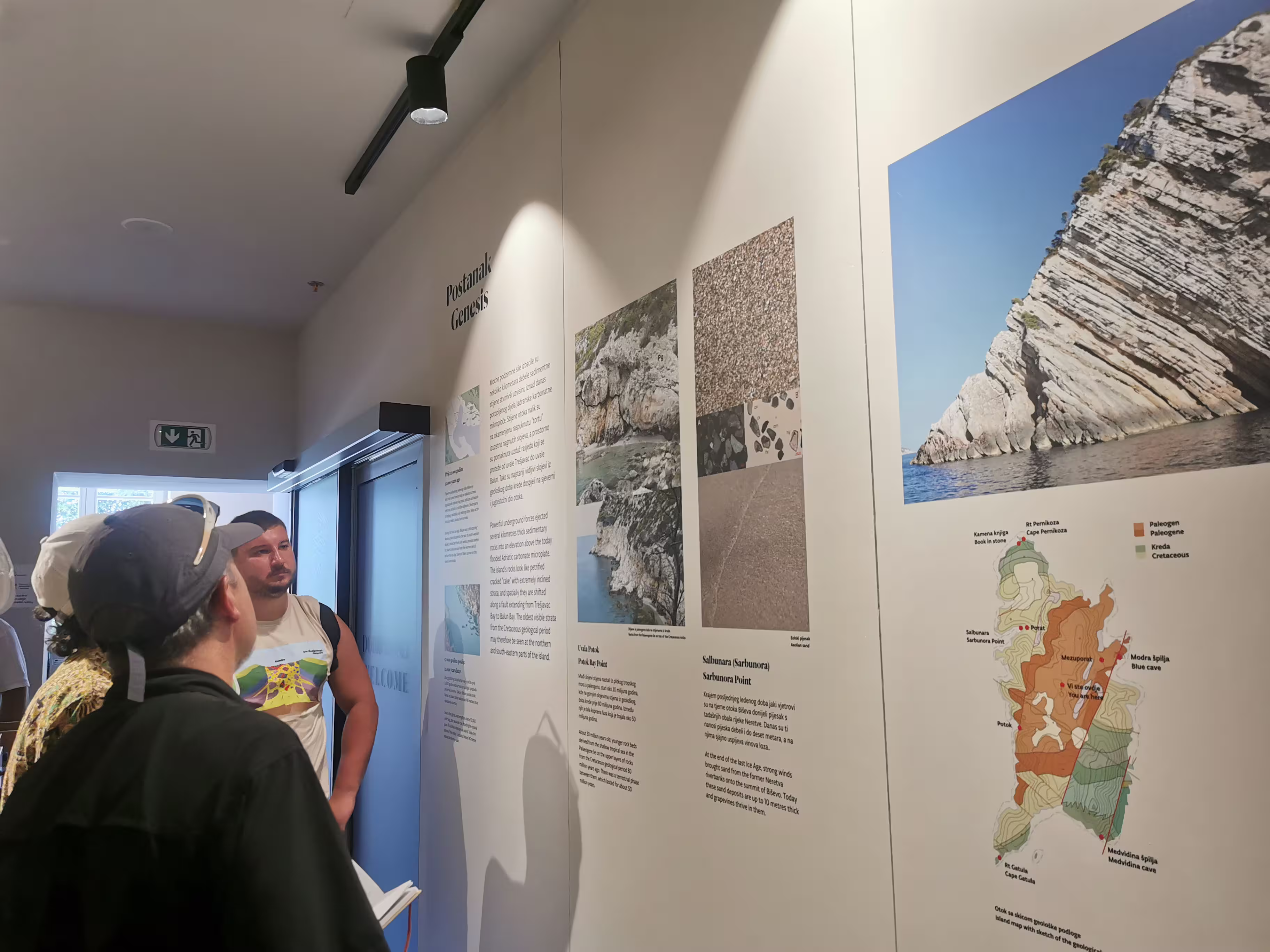
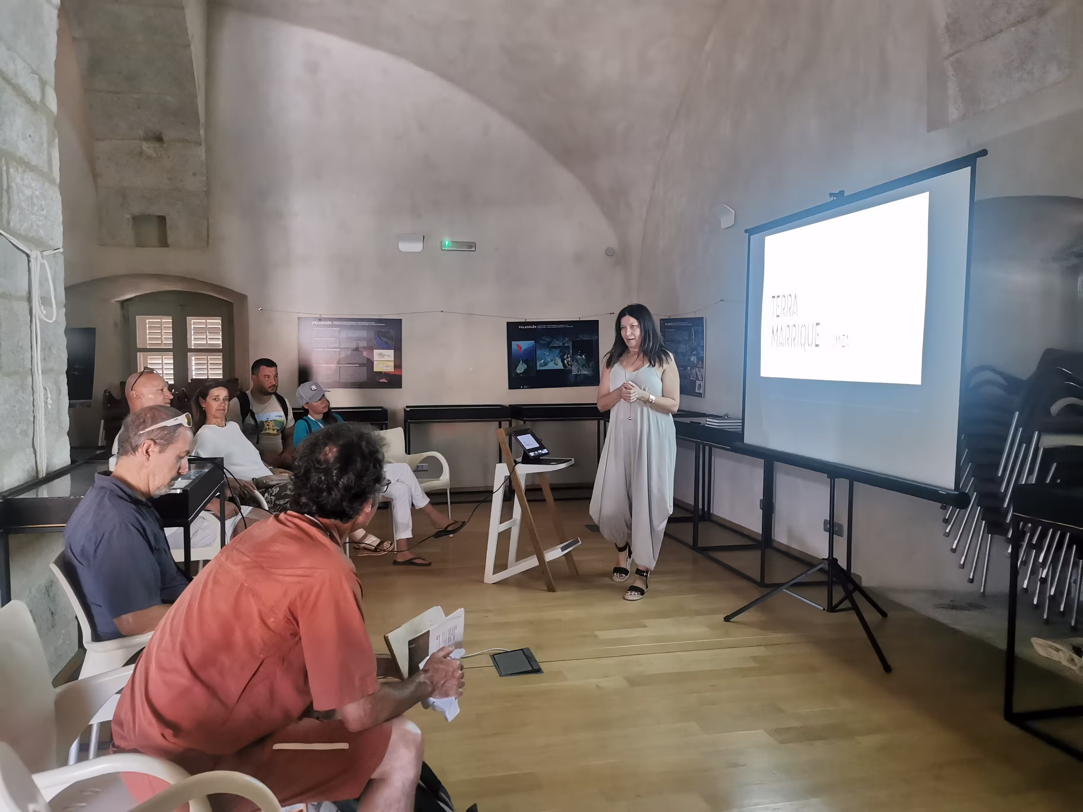
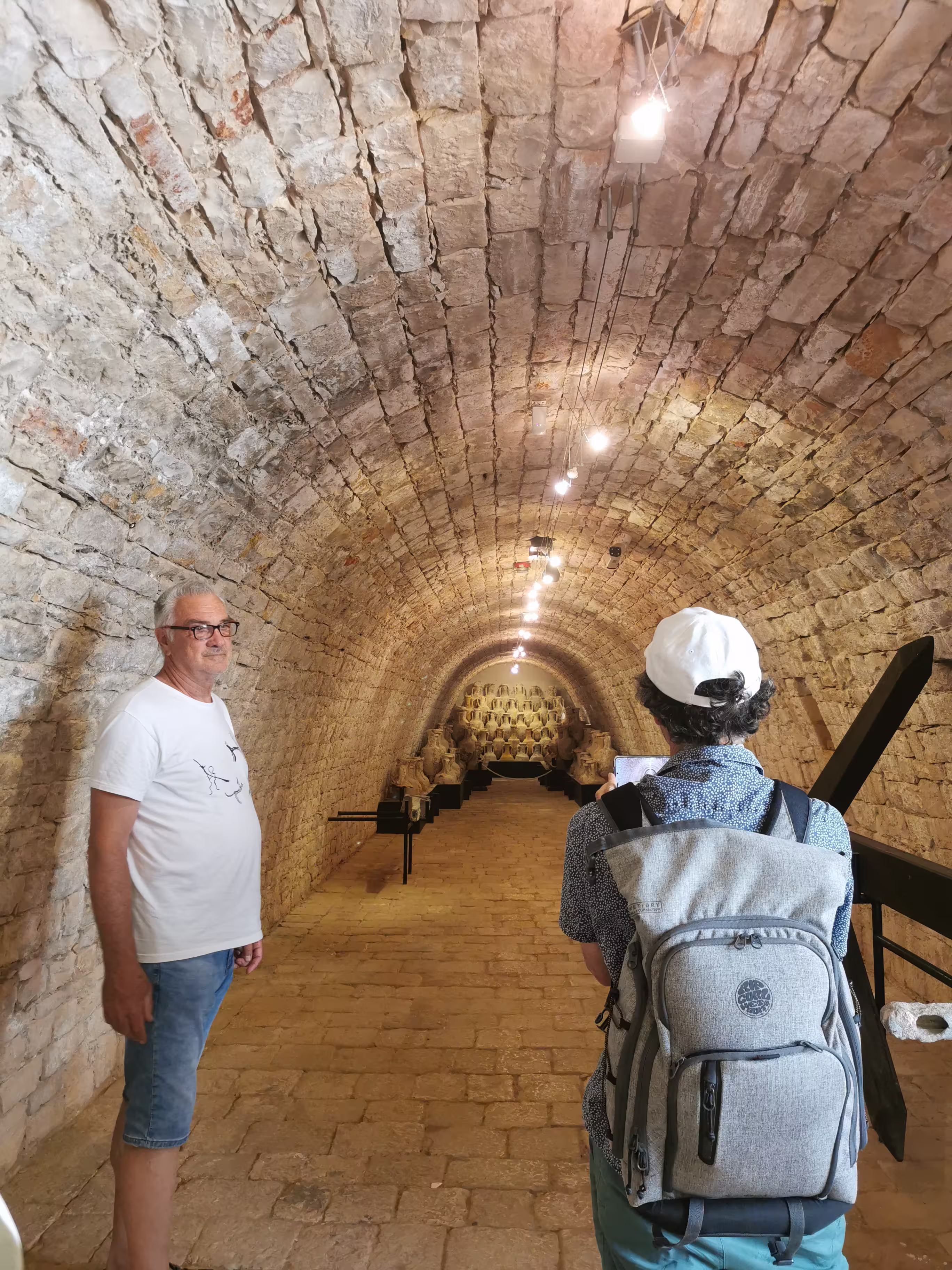
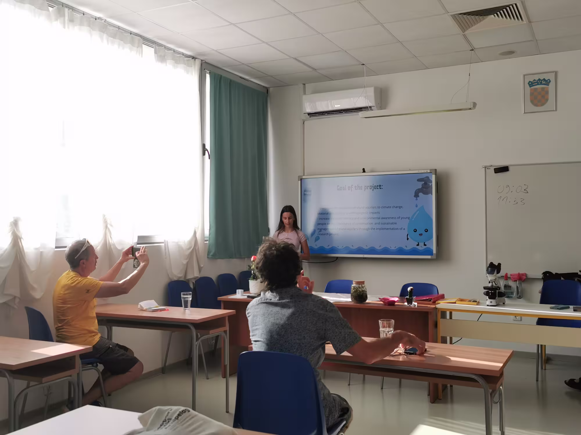
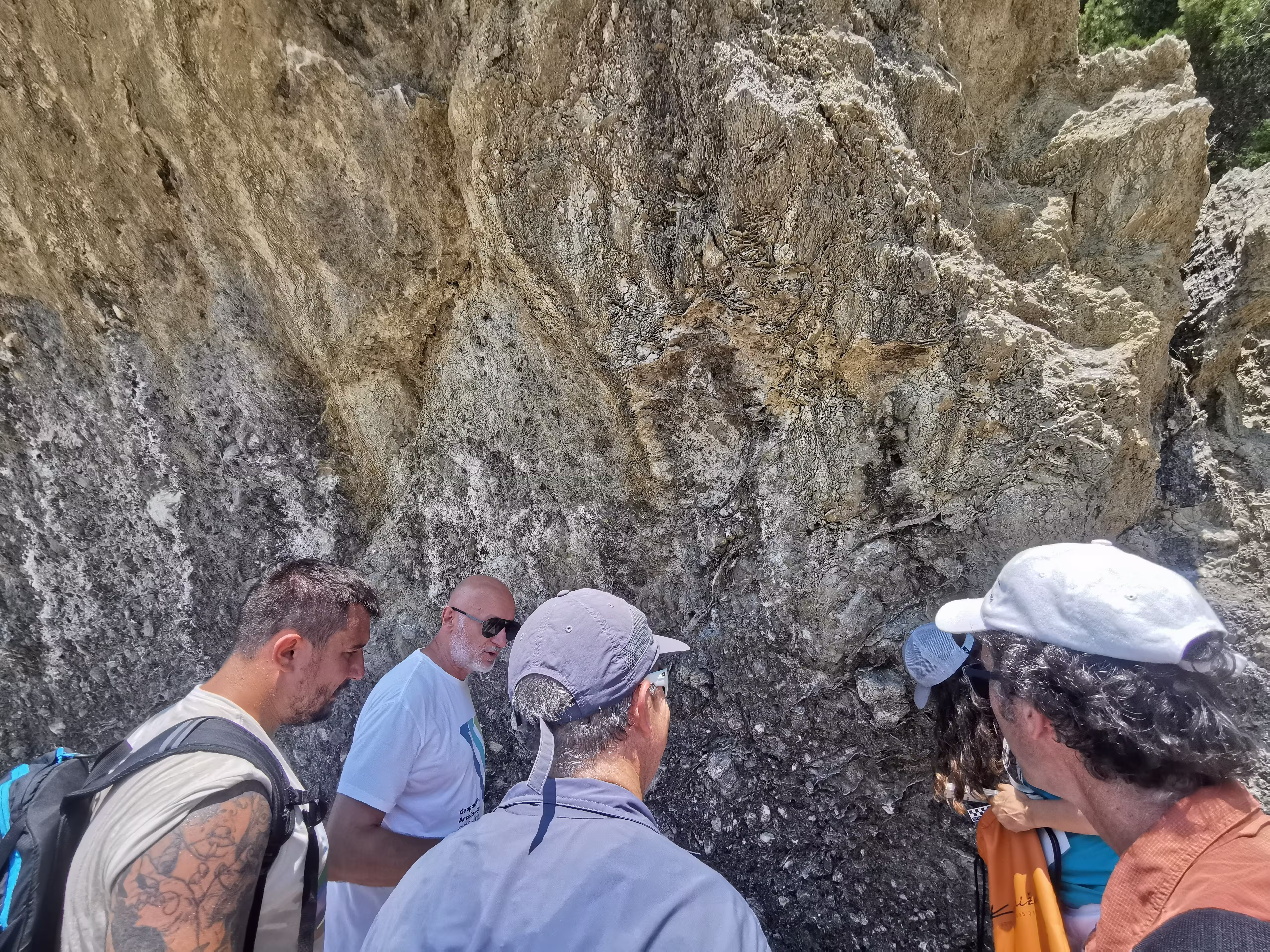
The program began at the Vis Archipelago Geopark Visitor Center in Komiža with a presentation of the management structure, current projects, development activities, challenges, and progress achieved since the previous revalidation. As part of the introductory program, a professional lecture was also held by Dr. Tvrtko Korbar on salt diapirs as the geological foundation of all islands and underwater elevations of the unique UNESCO Global Geopark Vis Archipelago. This highlighted, right at the beginning of the program, one of the key geological specificities of our area — the deep geological structure that is crucial for understanding the formation of the islands, relief, seabed, sources of drinking water, and the overall landscape of the Vis Archipelago.
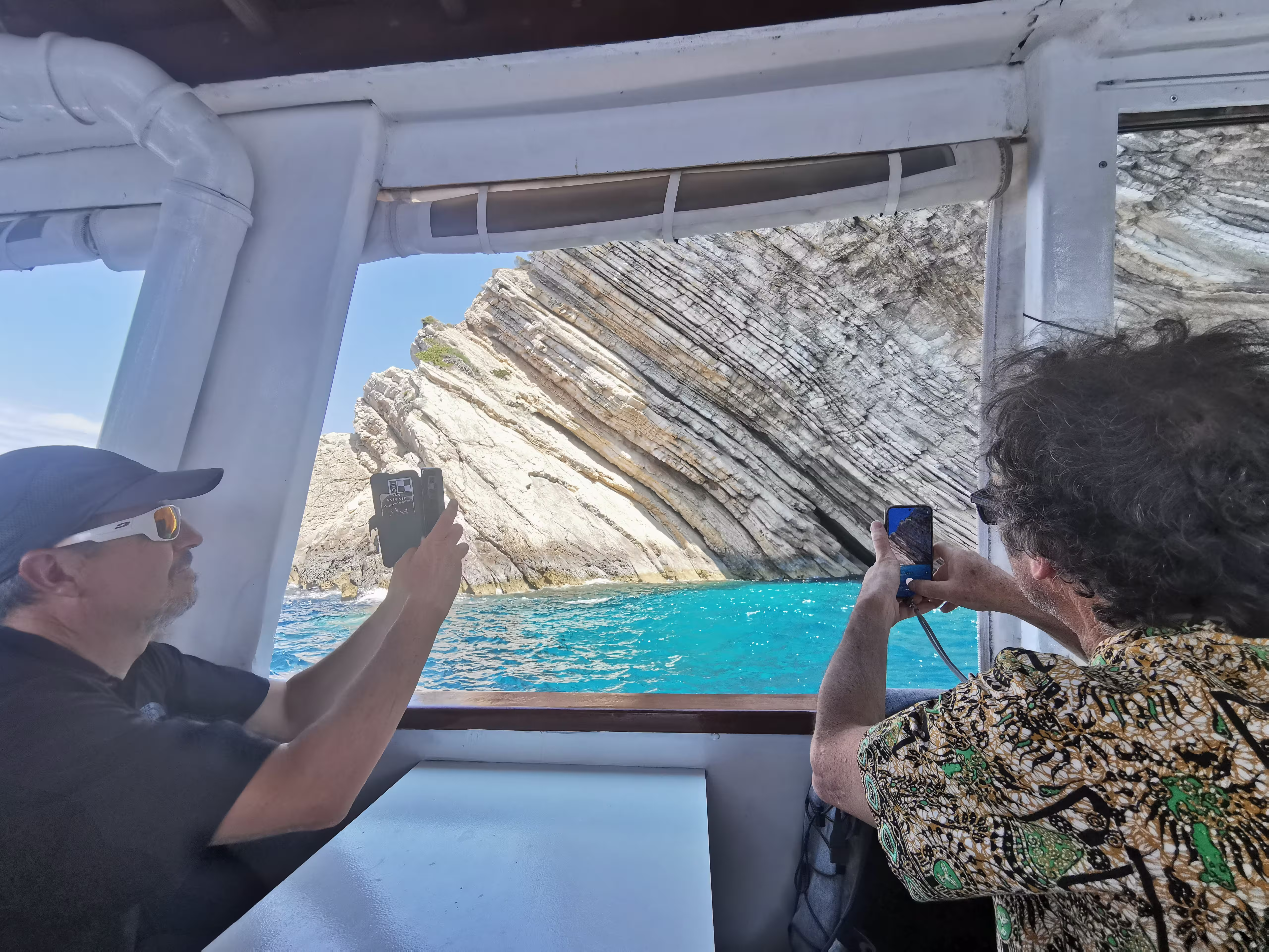
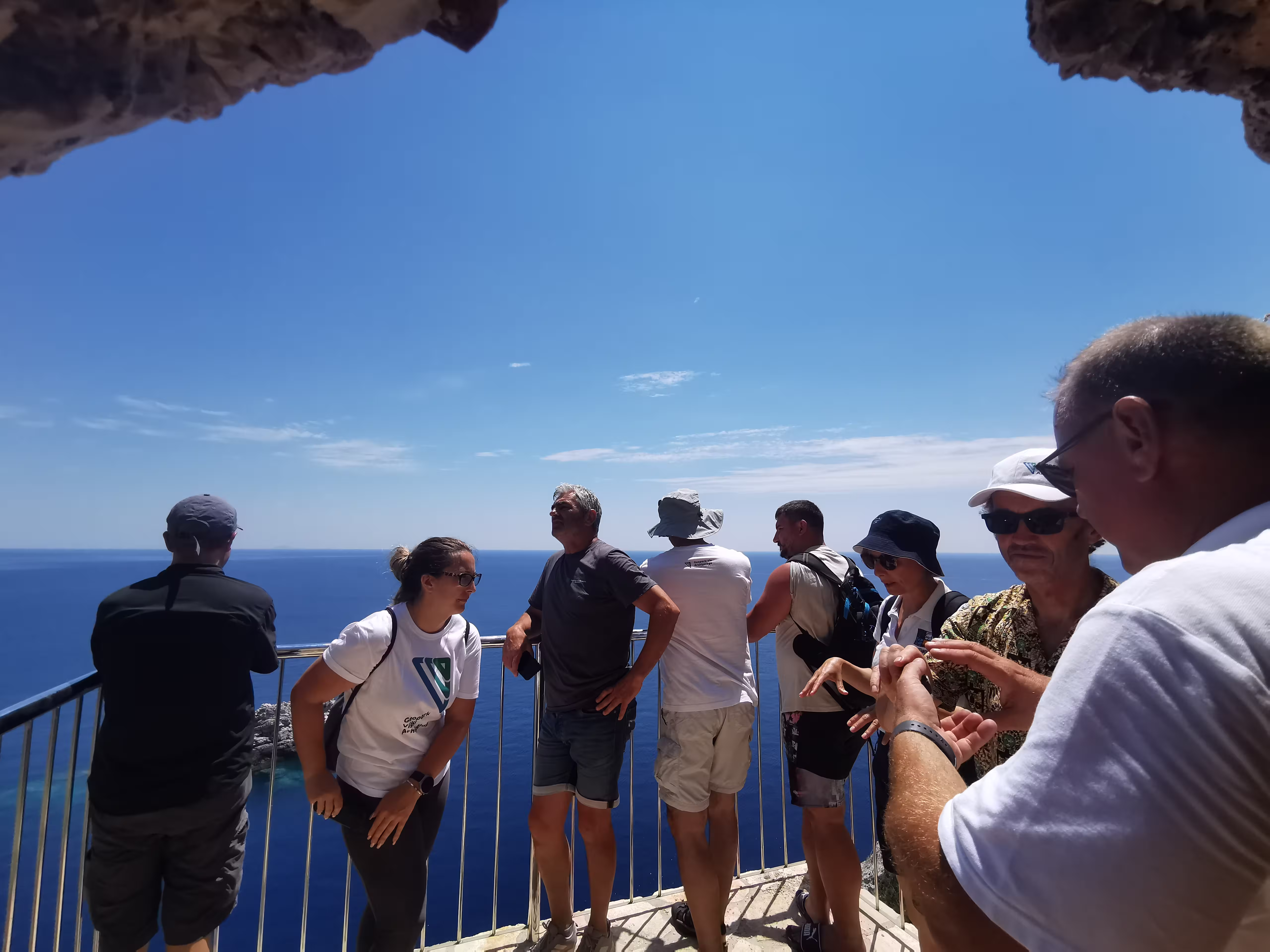
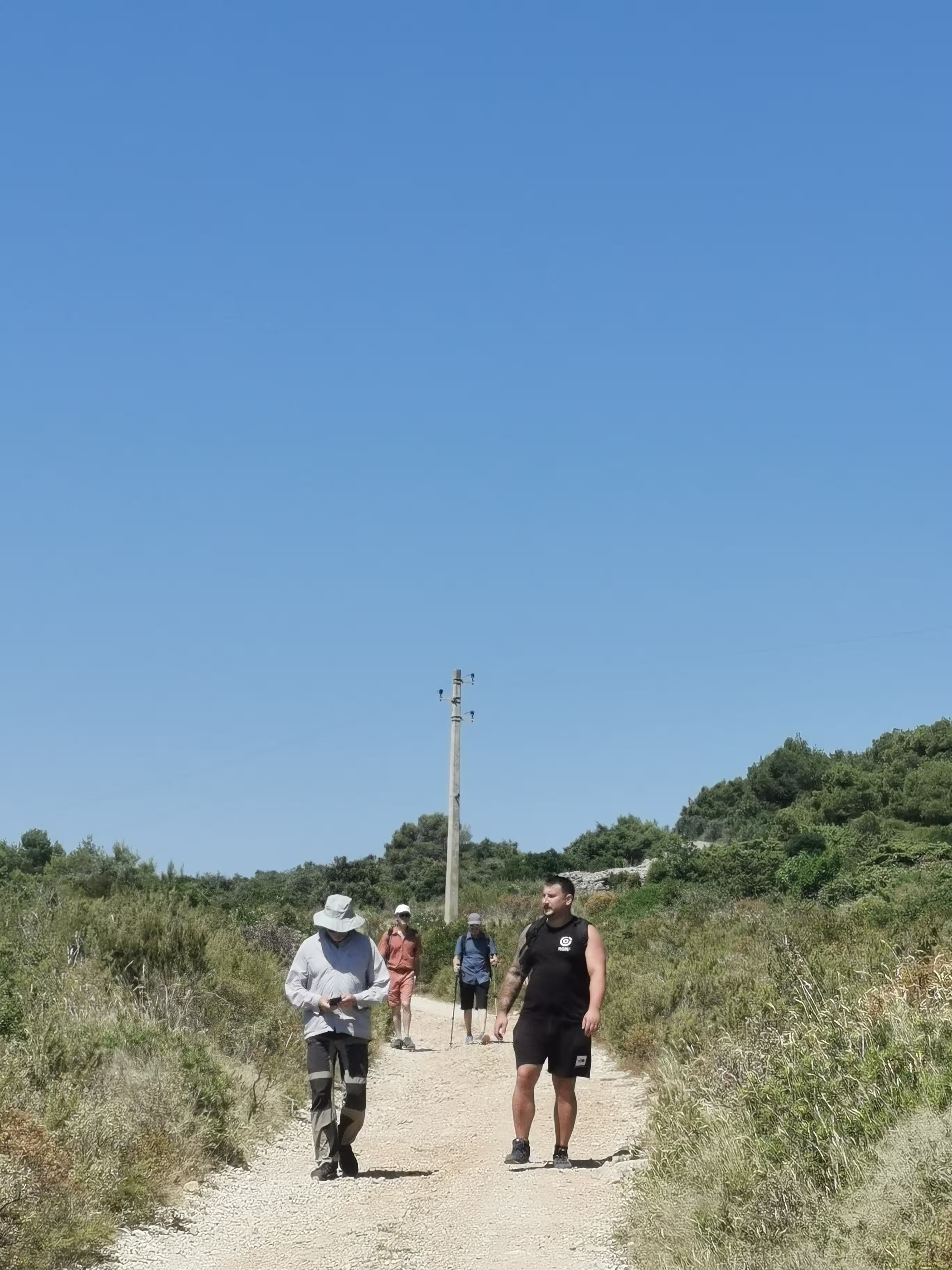
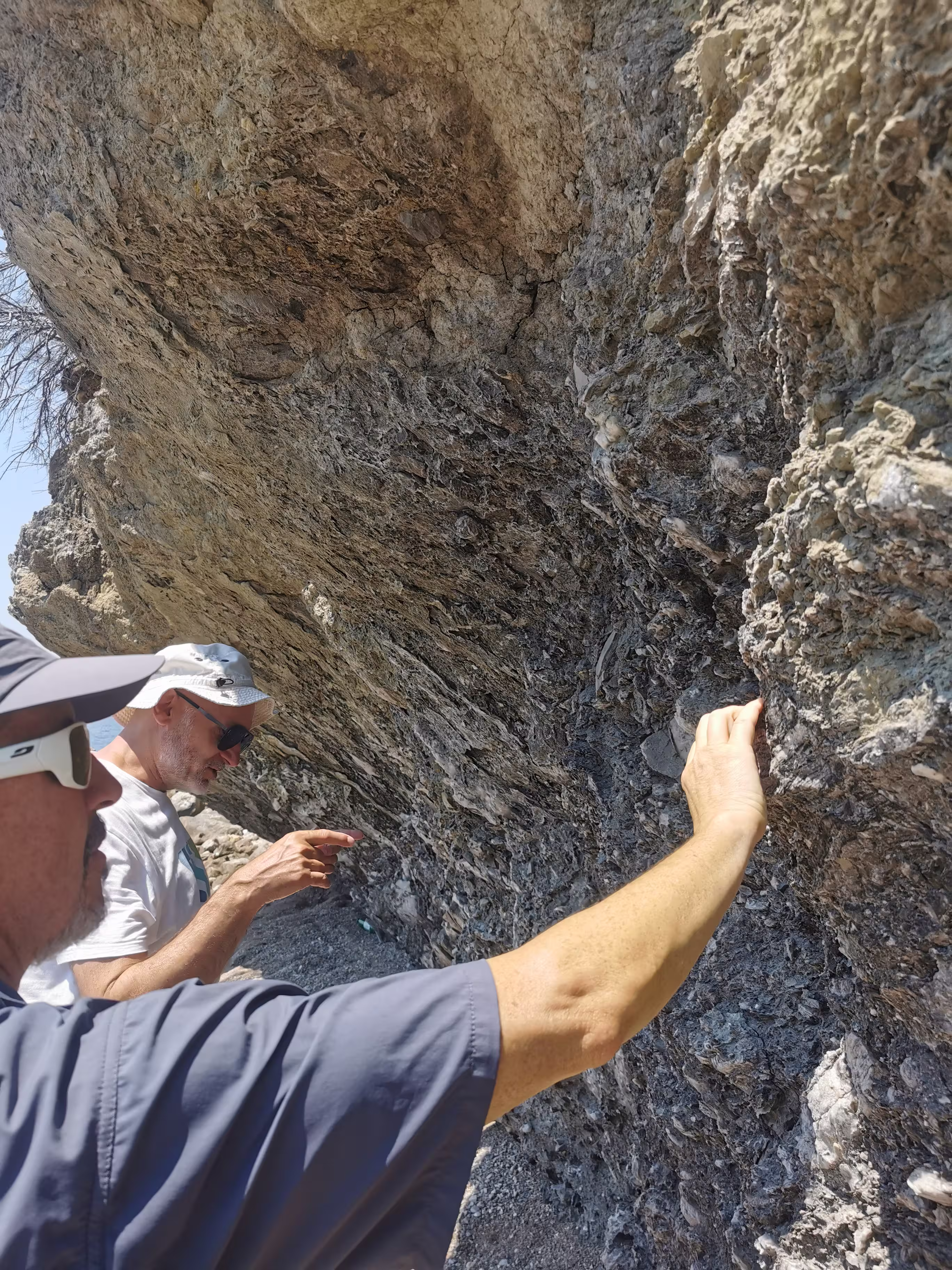
During the multi-day field program, evaluators visited key Geopark sites in the areas of Vis, Biševo, and Komiža. The tour was designed to showcase the Geopark as a whole — not only through its geological phenomena but also through their connection to the sea, water, agriculture, fishing, cultural heritage, education, tourism, and the daily life of the local community.
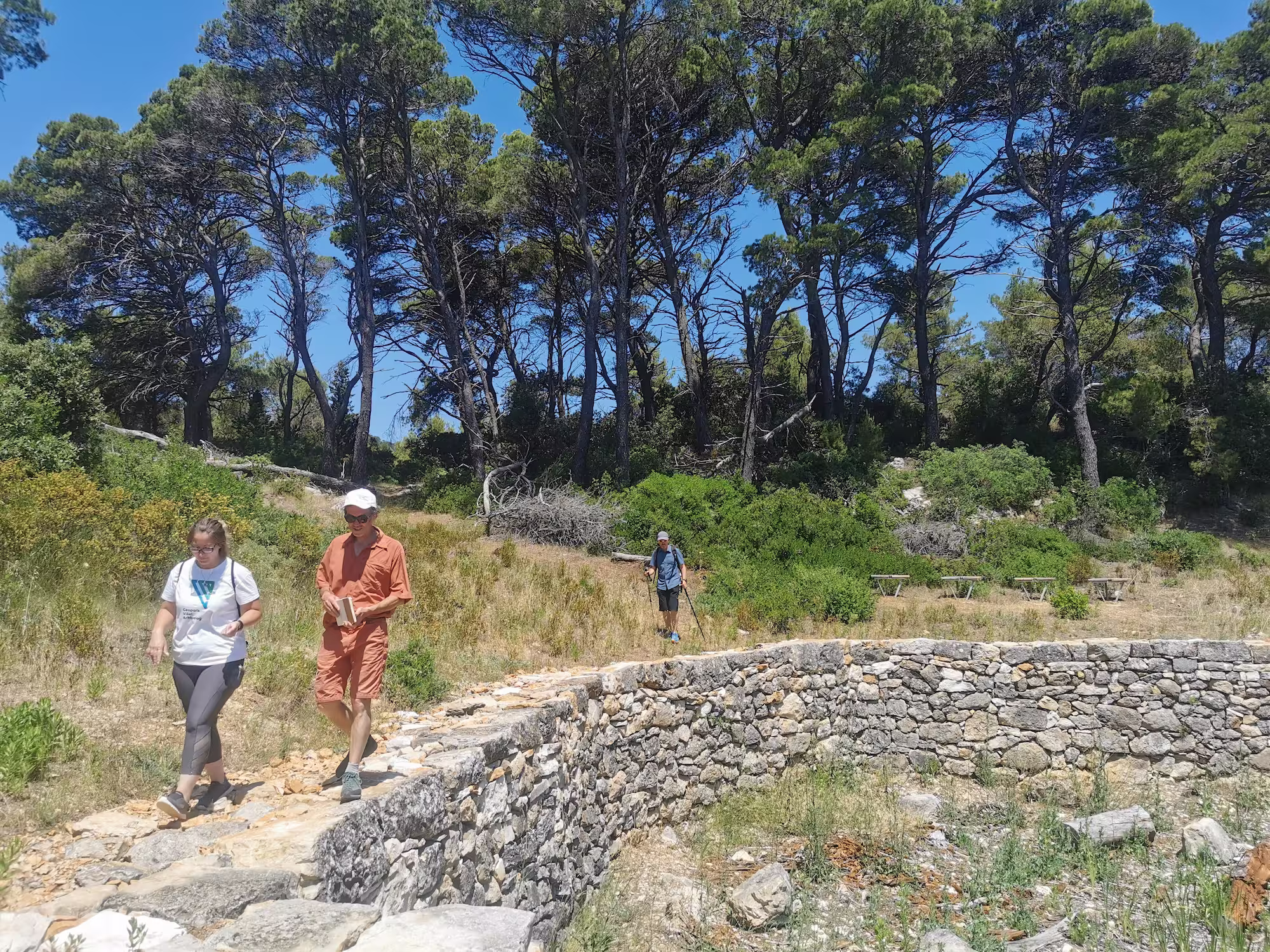
Along the Put poja geostrail, interpretive content, educational infrastructure, sustainable tourism, and the connection between geological, natural, and cultural heritage were presented. The sites of Krušovica and Podšpilje served as important examples of an island landscape where natural resources, drinking water, agriculture, dry-stone heritage, and life in the island's interior intertwine with the area's geological foundation. Such sites demonstrate how geology is not merely a scientific topic but a basis for understanding how people lived, worked, and adapted to natural conditions on the island.
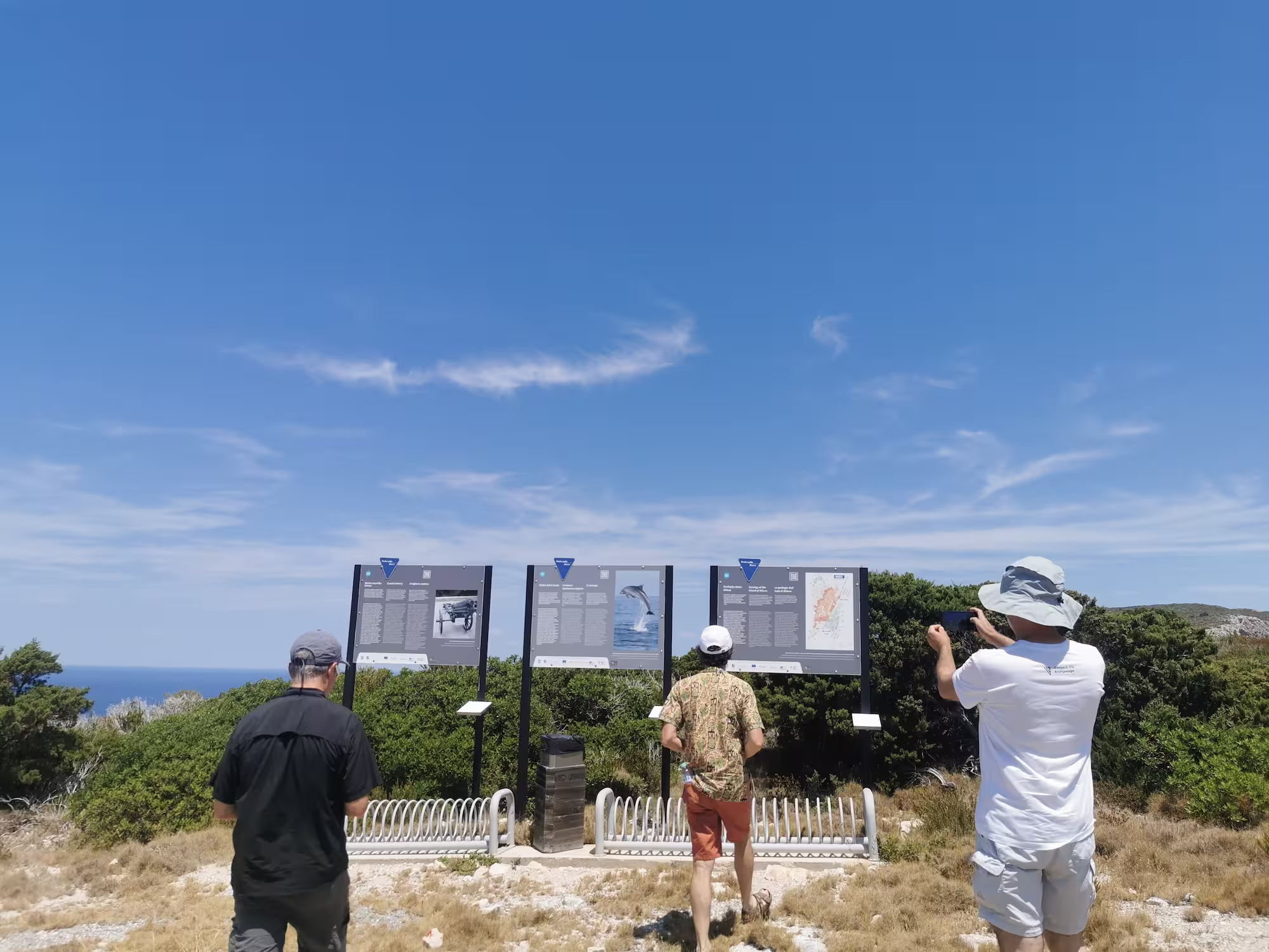
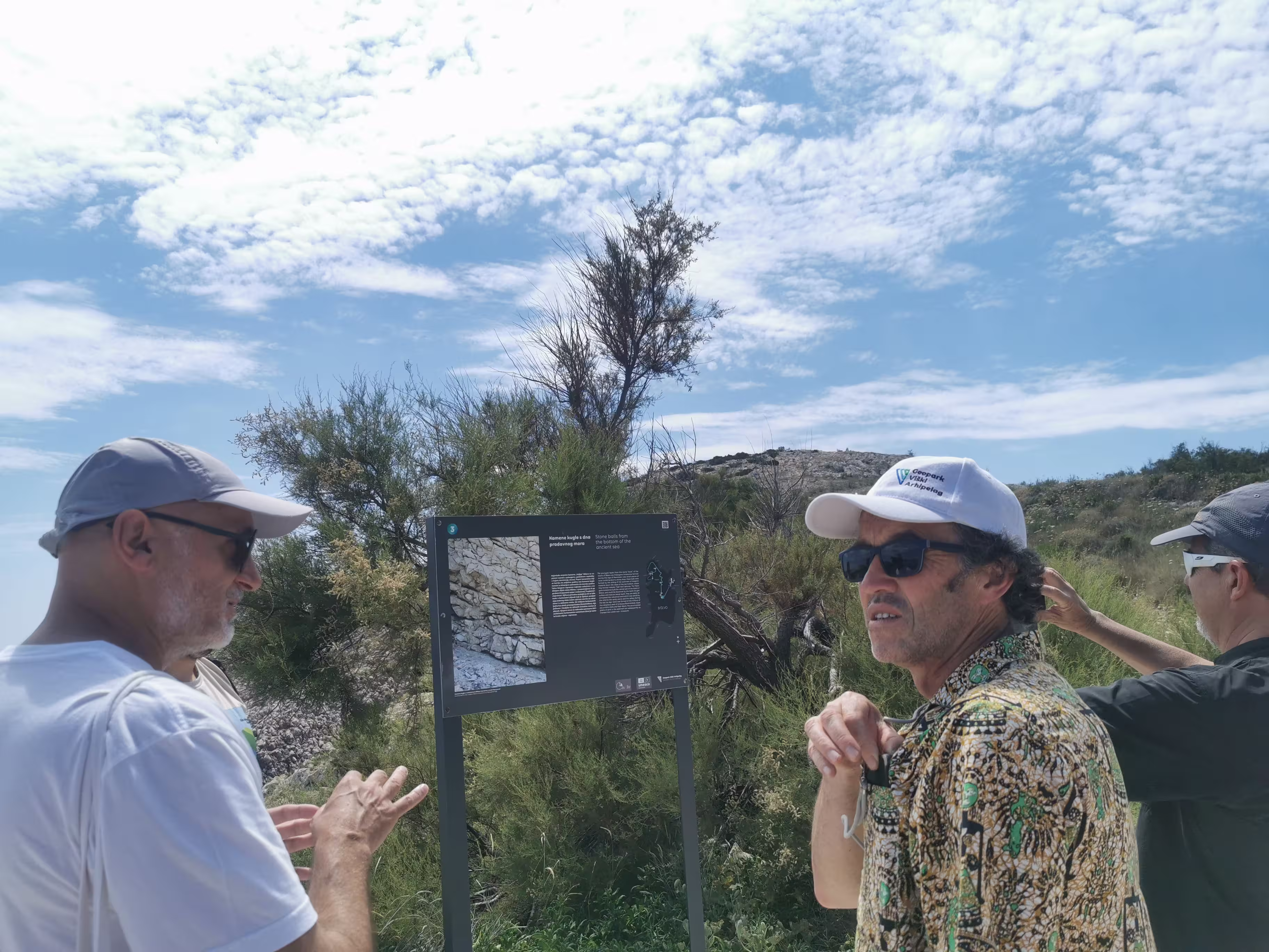
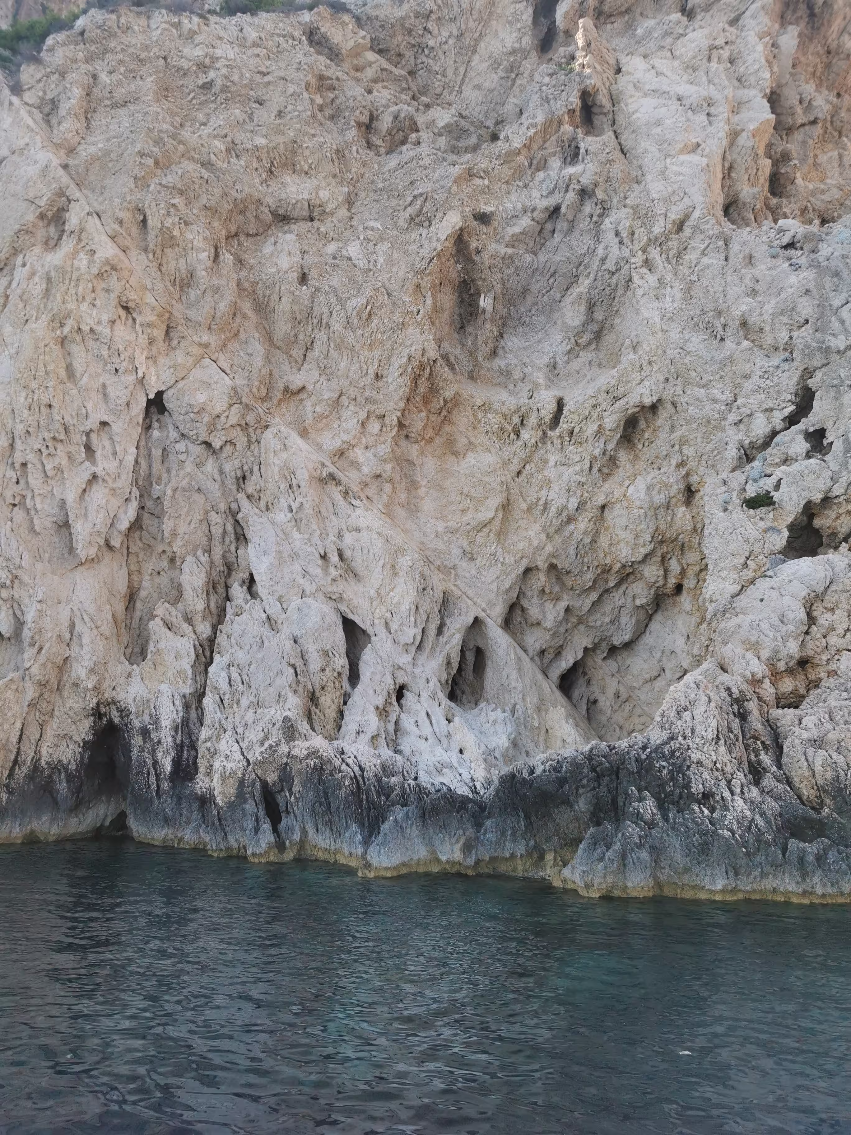
A special part of the program was dedicated to Biševo Island, one of the most recognizable and geologically interesting parts of the Vis Archipelago. Evaluators visited sites related to the island's geology, marine heritage, nature protection, and visitor management, including the Stupišće area, the Blue Cave, Gatula, Libri, Medvidina Cave, and other important points along the Biševo geostrail. Biševo was presented as an area where exceptional natural values meet the challenges of visitation, protection, interpretation, and preservation of island life. Throughout the tour, particular emphasis was placed on visitor management, the protection of sensitive sea caves, the interpretation of geological and cultural heritage, and the sustainable use of the area.
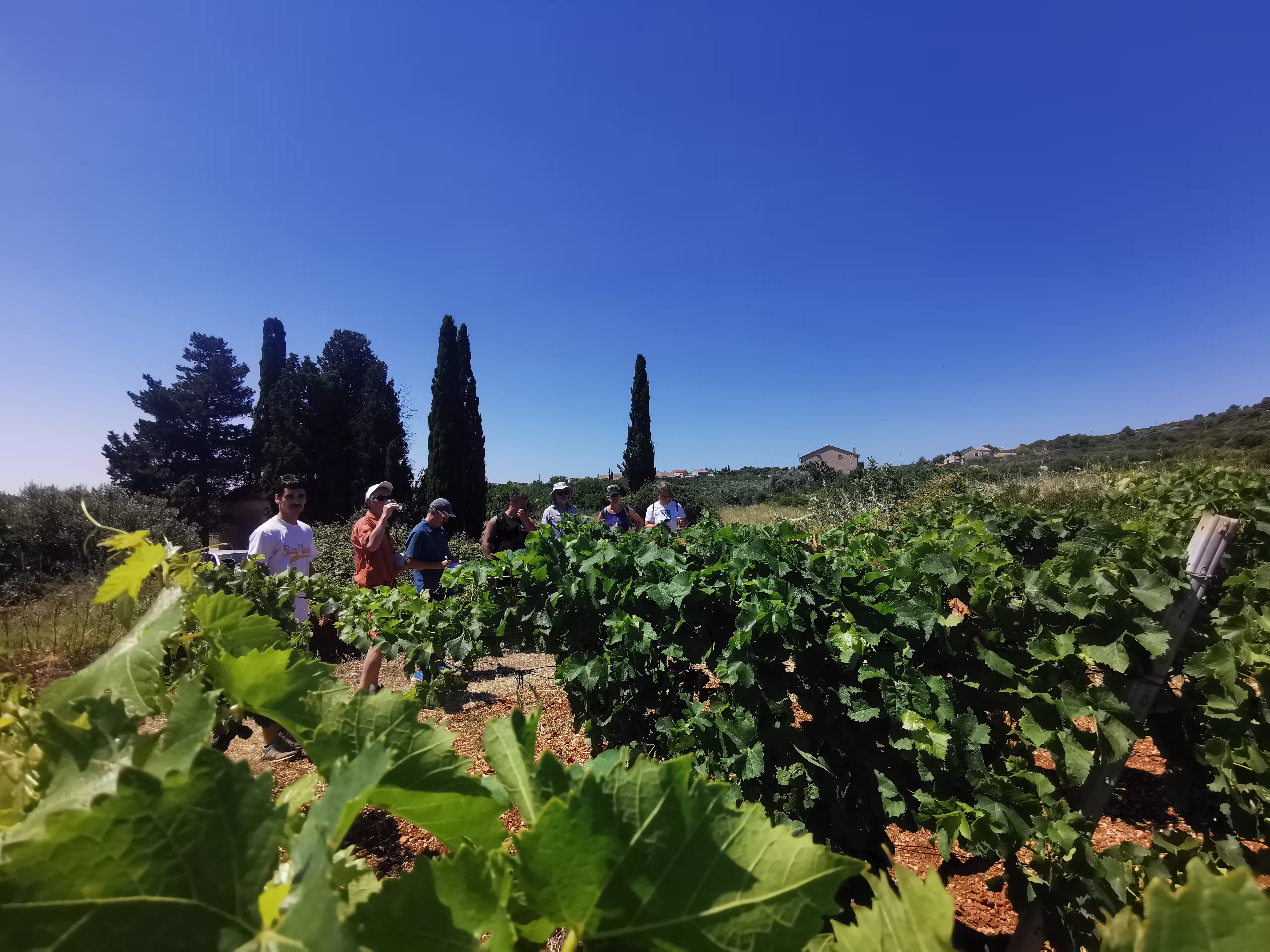
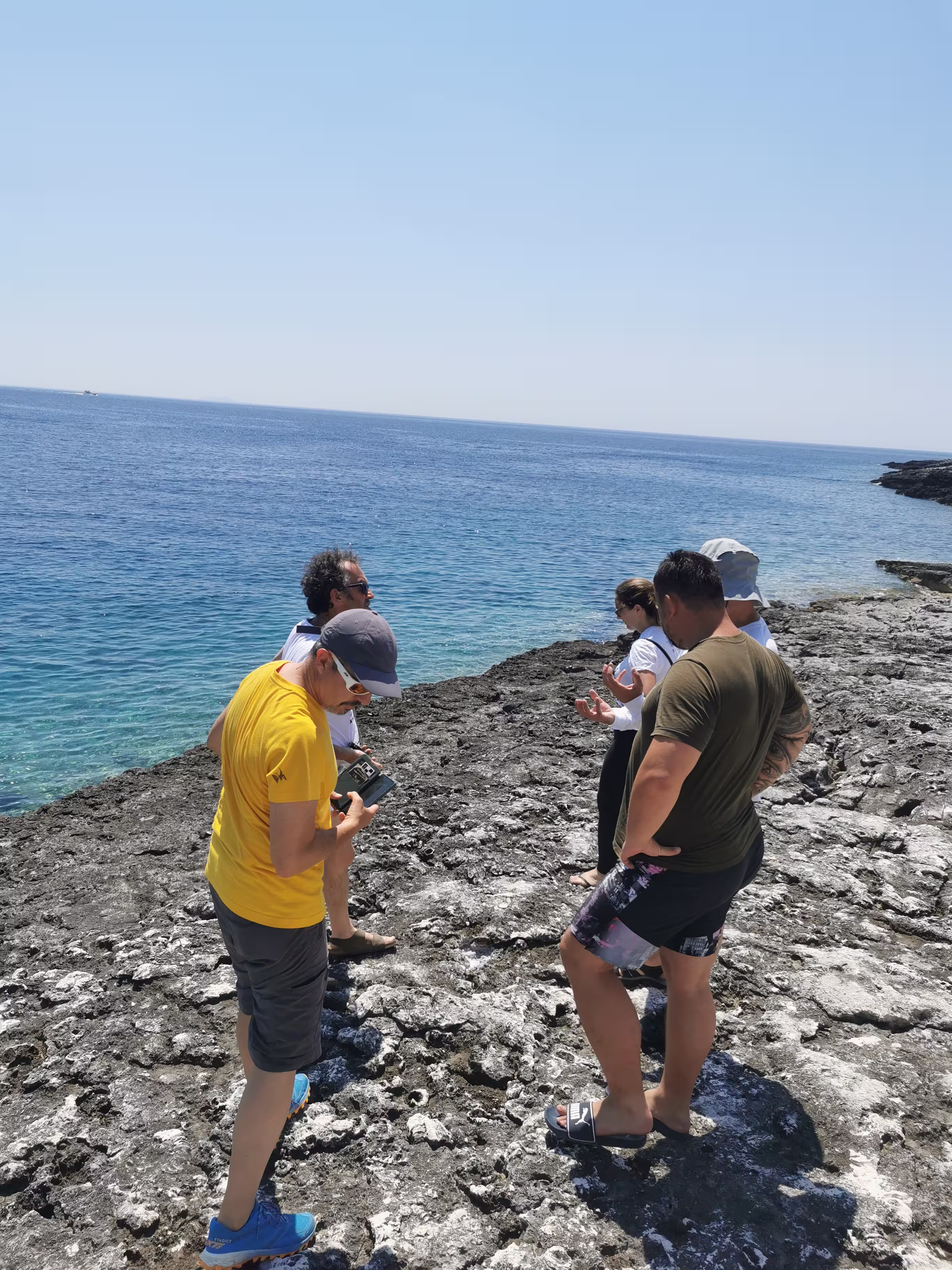
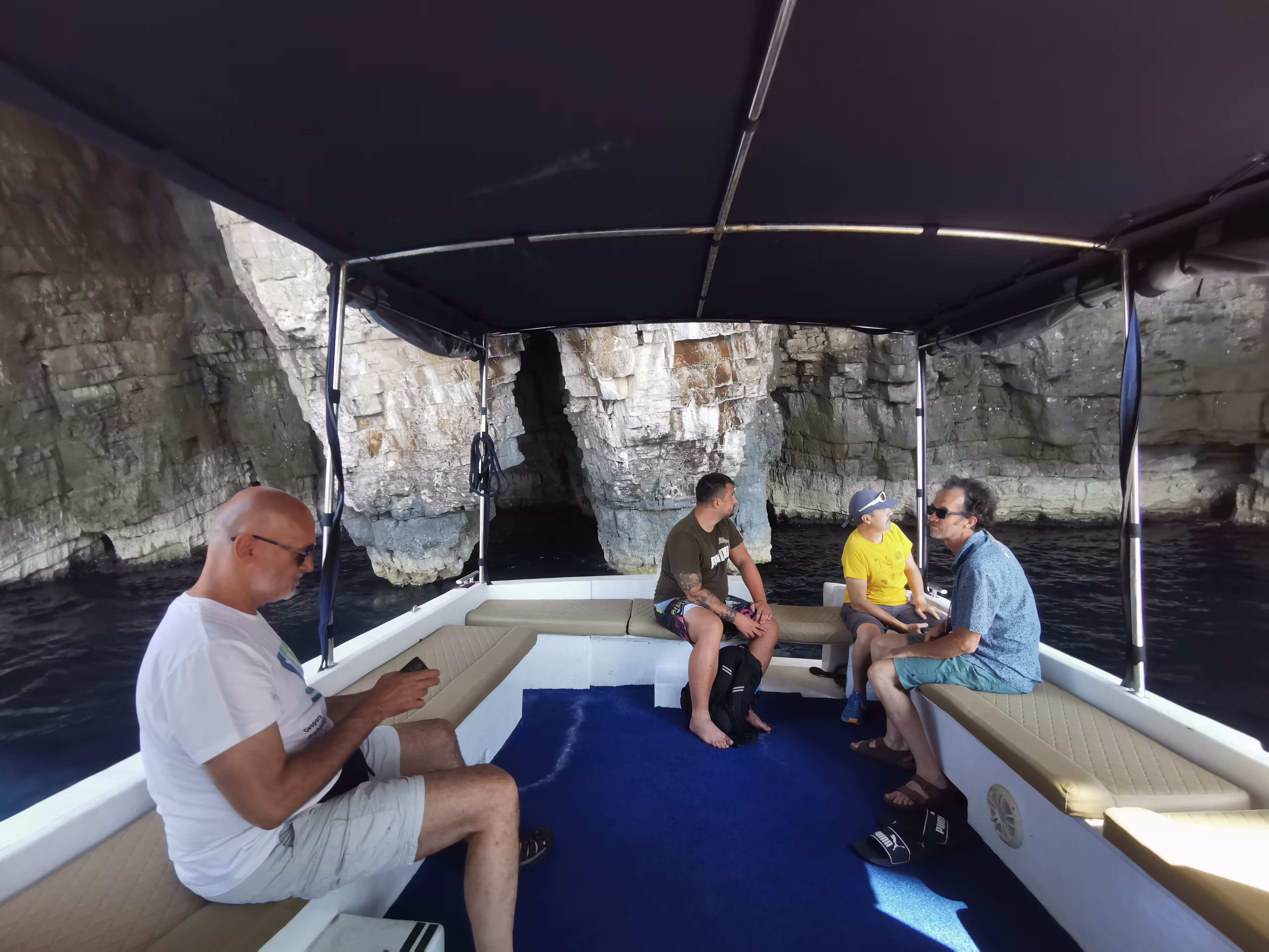
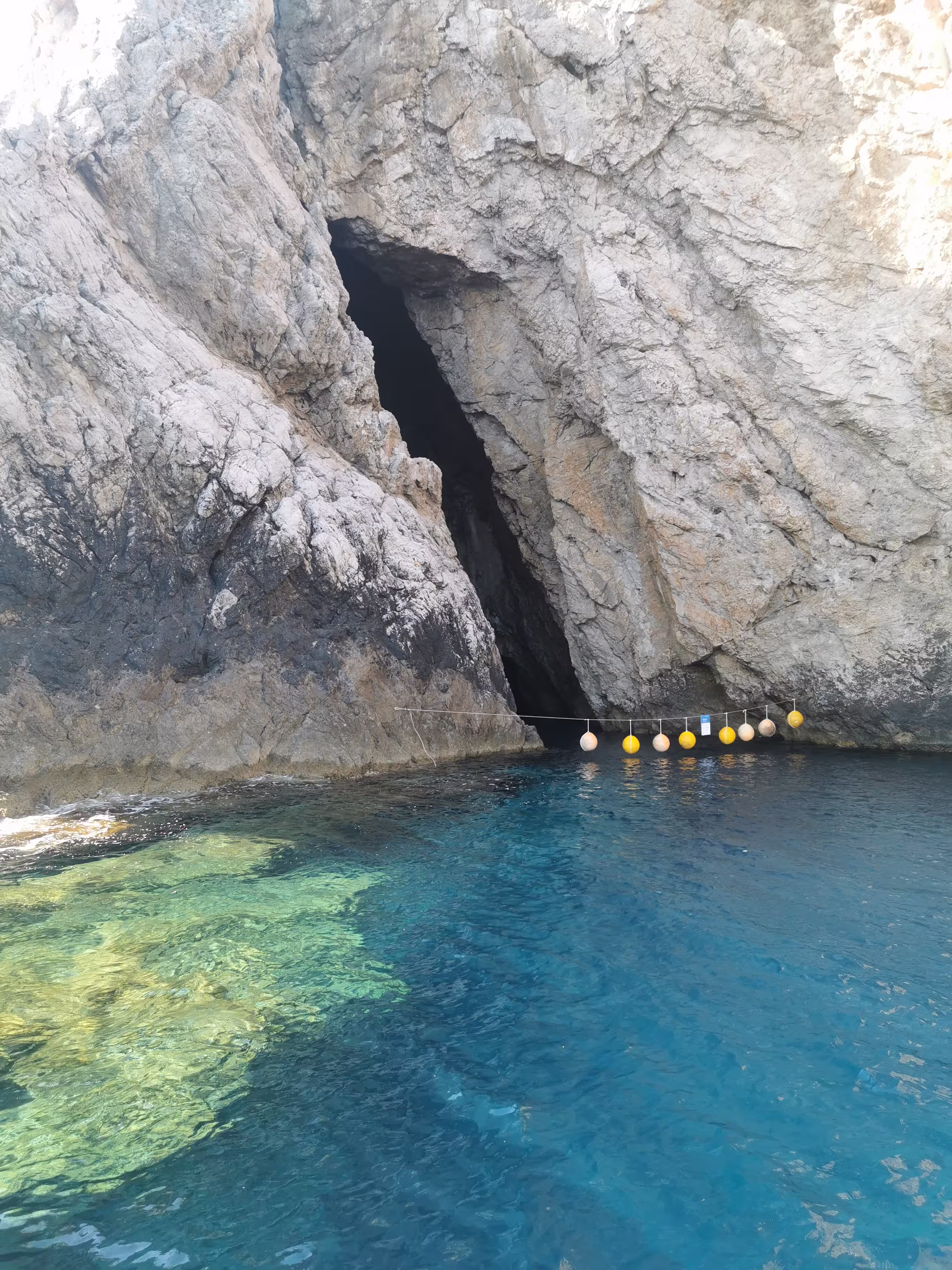
As part of the Vis–Rukavac geostrail tour, the geological and geomorphological specificities of the southern part of Vis Island, the coastal landscape, and marine heritage were presented, as well as the cultural and historical layers of the town of Vis. The program included sites such as Ruda, Srebrna, Bili bok, and the Green Cave, a guided tour of the town of Vis, a visit to the Vis Town Museum, meetings with local stakeholders, and presentations of educational and partnership activities, including the work of the Secondary School. This part of the program particularly highlighted the connection between geology, nature, history, education, and local identity.
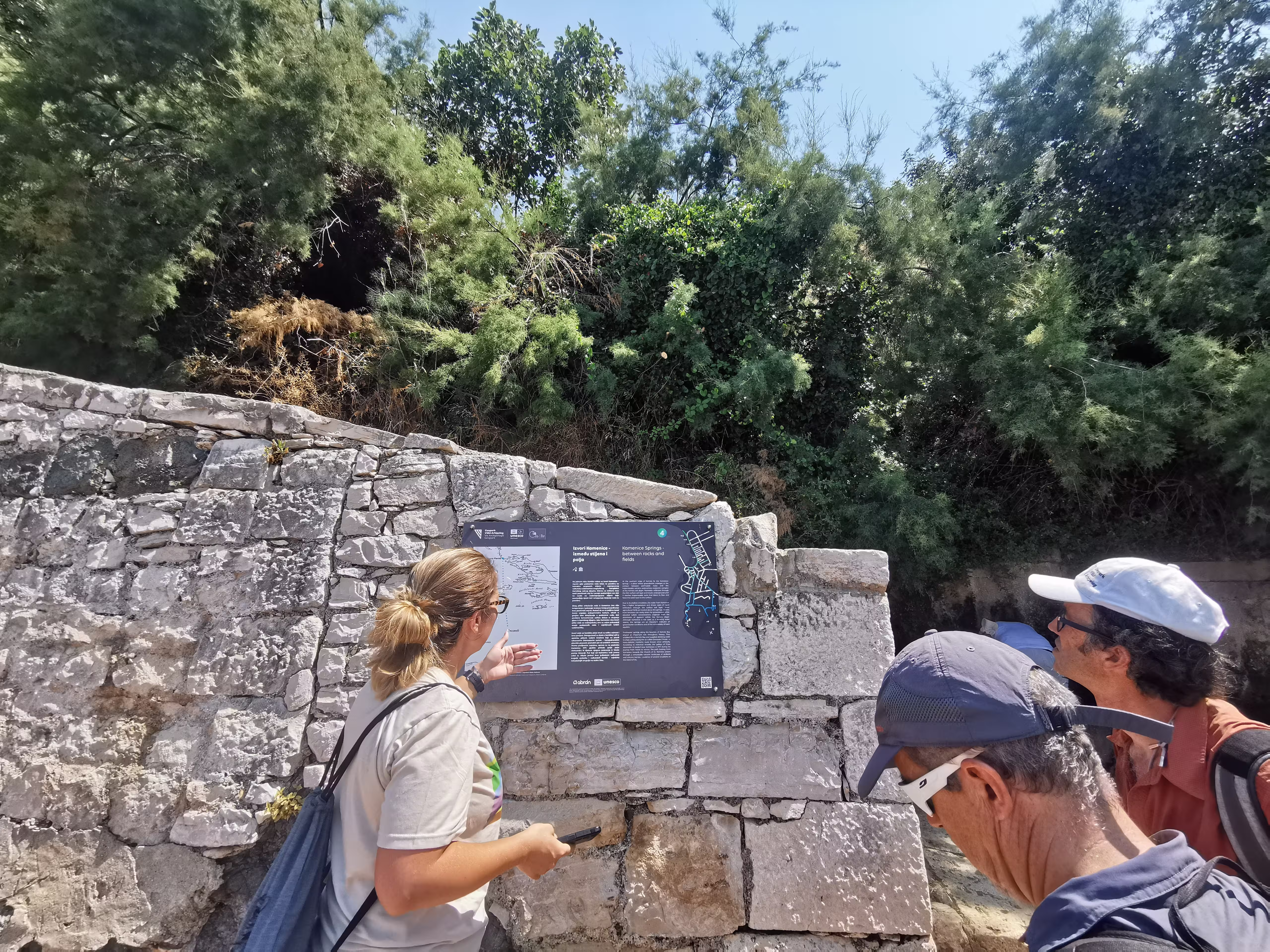
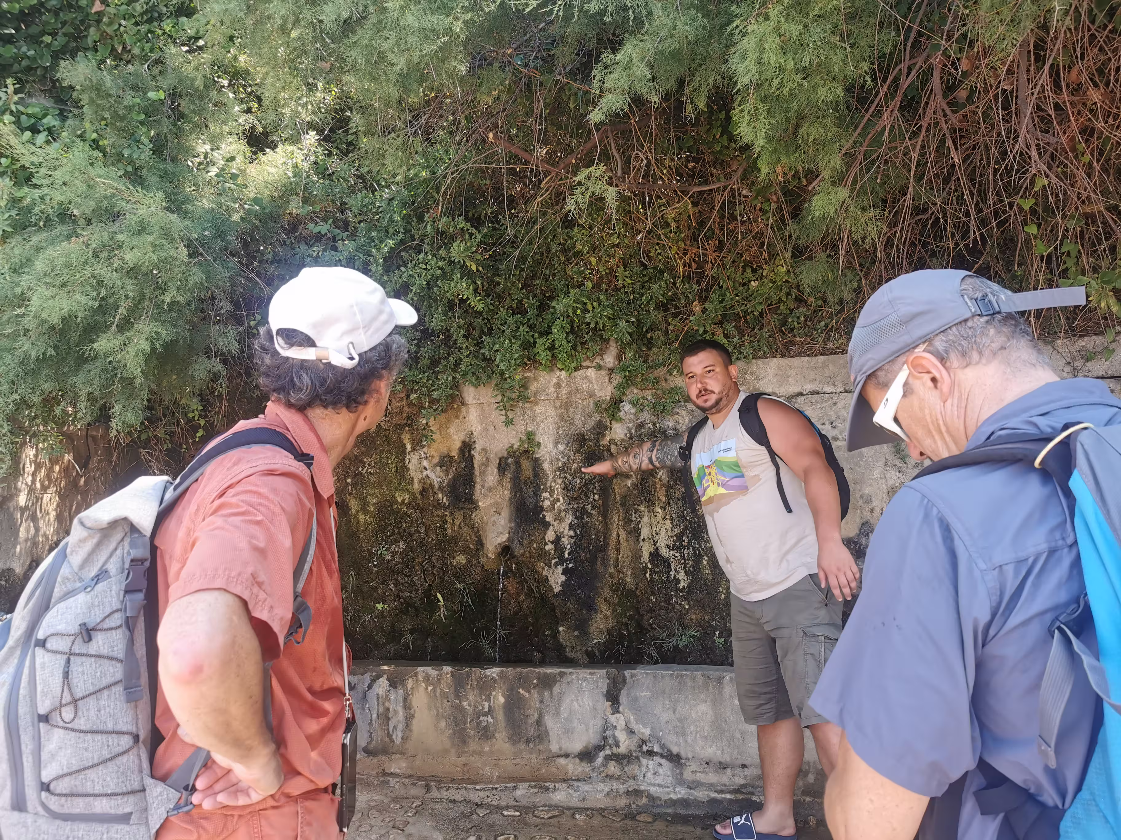
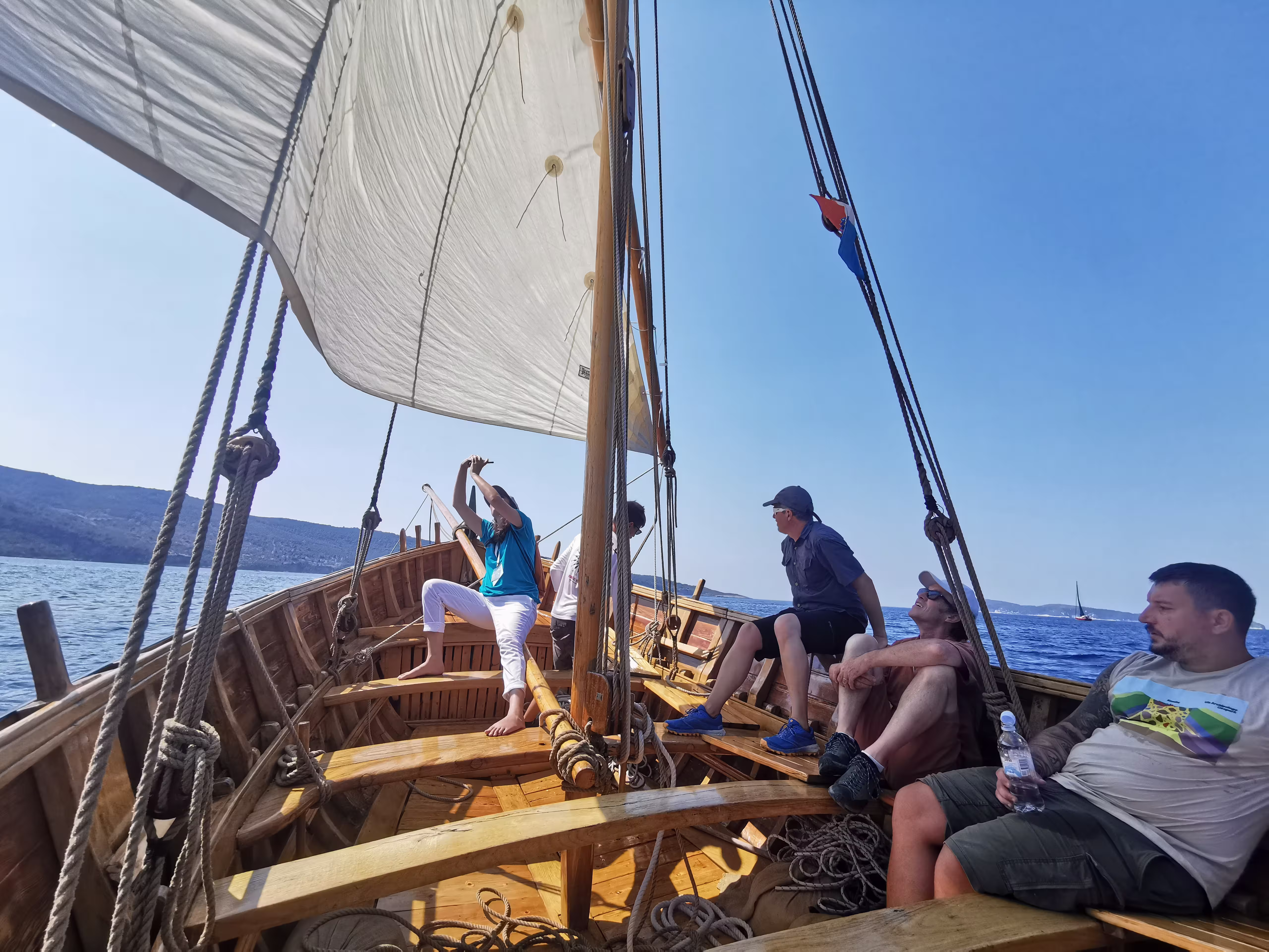
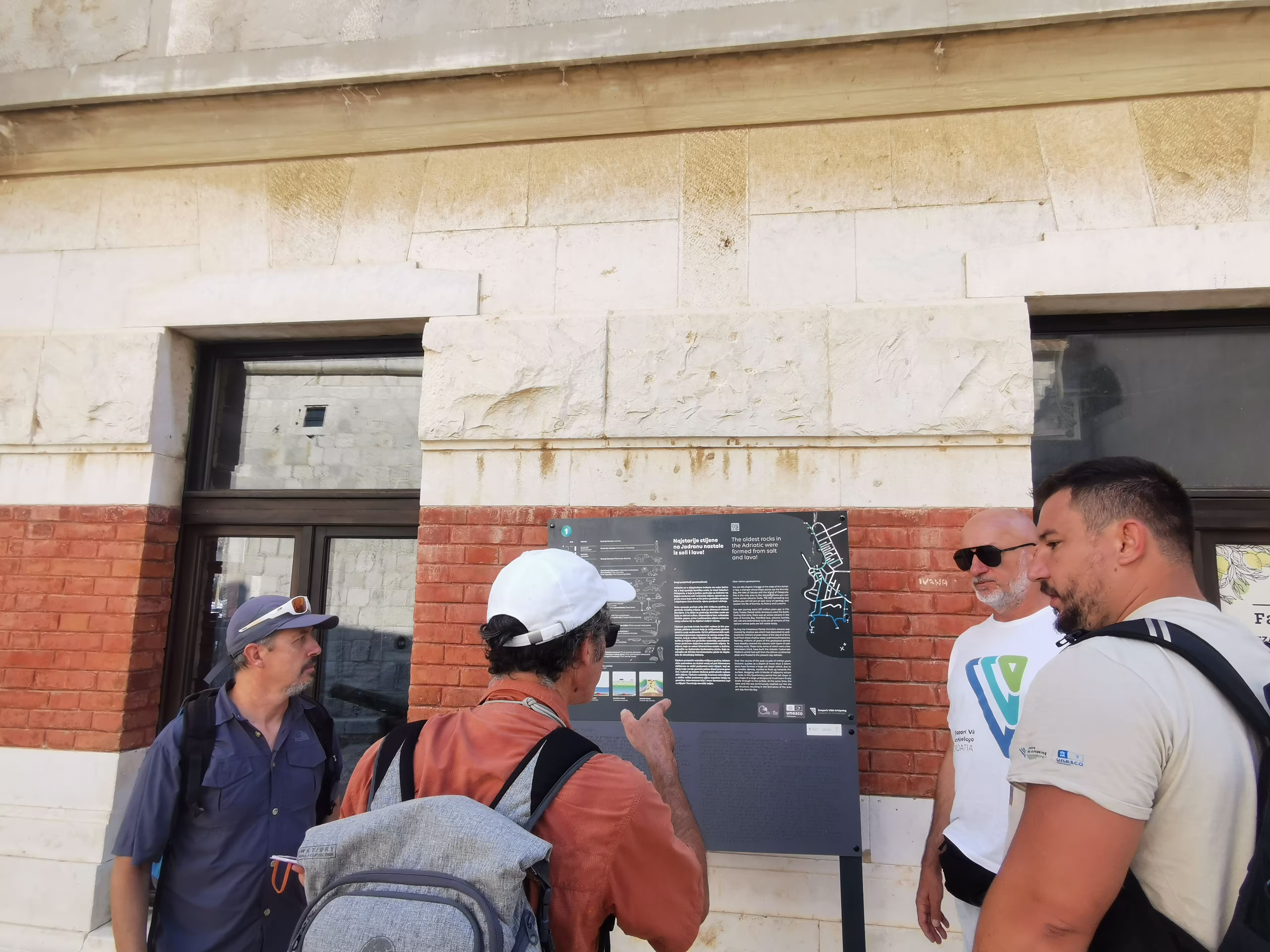
The final field day was dedicated to Komiža and the Komiža geostrail, focusing on the oldest known rocks in the Adriatic, the salt diapir, sources of drinking water, and the connection of geology with the cultural landscape and the life of the local community. In addition to visiting Kamenica and Gusarica, the program was further enriched by the experience of sailing on a falkuša gajeta and a visit to Korita. Thus, the final day uniquely connected the sea, stone, water, and tradition — elements that strongly shape the identity of Komiža and the Vis Archipelago.
The falkuša gajeta experience allowed for the presentation of Komiža's fishing heritage not only as a cultural value but also as a living testament to human adaptation to the sea, distance, winds, and the natural conditions of the offshore area. The visit to Korita further opened up the topic of water, working in the landscape, traditional land use, and the local community's relationship with natural resources. It was precisely such moments that demonstrated how the geological heritage of the Vis Archipelago cannot be viewed separately from the people who live in this area and who continue to interpret it through their knowledge, work, and stories.
The revalidation concluded with a final meeting with the evaluators, where elements of the self-evaluation report, the Geopark's achievements since the previous revalidation, and guidelines for further development were presented. Discussions covered past work, development opportunities, challenges in managing a large marine area, strengthening interpretation, education, sustainable tourism, and further involvement of the local community.
The Vis Archipelago Geopark thanks all partners, institutions, local stakeholders, experts, schools, associations, guides, collaborators, and community members who participated in the preparation and implementation of the revalidation program.
Special thanks go to the towns of Vis and Komiža, municipal and public services, educational institutions, tourism stakeholders, partners in nature protection, culture, and heritage, the Vis Town Museum, the Secondary School, local guides, field collaborators, participants in meetings with evaluators, and everyone who, with their knowledge, experience, time, and hospitality, contributed to presenting the Vis Archipelago as an area of exceptional geological, natural, cultural, and social value.
The UNESCO revalidation is an important affirmation of past work and an impetus for further strengthening the Geopark's role in heritage preservation, education, sustainable development, and connecting the local community with the unique area of the Vis Archipelago. The Vis Archipelago is not just an area of exceptional geological phenomena — it is a place where geology, the sea, culture, and community life are constantly intertwined, creating a heritage that needs to be understood, preserved, and passed on to future generations.


Hrvatskih mučenika 17
21485 Komiža, Croatia
+385 91 271 30 23
geopark@geopark-vis.com
Fotografije: Ivo Pervan, Matko Petrić, Stjepan Mekinić
Design & development: P3R0